GROWING UP AT AVILA BEACH!

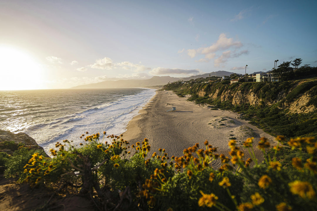
I started surfing in May of 1966; at the age of 13, it was a great time to be an early teen on the Central Coast of California. My brother and I could easily ride the 10 miles to the beach on our bikes, and we would collect Coke bottles and turn them in at Avila Grocery for lunch money. My buddy’s parents owned the place, which was right on Front Street in the middle of town. There had to be 25 or 30 boards stacked behind the building at any given time. Avila is a very safe beach; sandy bottom, south facing, protected from big northwest swells that roll in during the winter months by a breakwater at the west end of San Luis Bay.
I still wonder how Avila Beach became the epicenter of the Central Coast surf scene in the mid to late ‘60s, but it was. Maybe it was the weather. Sure, there were some guys riding bigger and more consistent waves at Morro Bay and Cayucos to the north and Pismo Beach to the south, but somehow Avila was the place to be. All the reasons why Avila was known as a “safe” beach were reasons why even decent surf was rare. Especially during the summer, the protected little bay has really small waves, and the afternoon breeze blows them out almost every day. Yet I can remember when 30 or more surfers would be in the water at a time, vying for little ankle biter closeouts.

Considering the conditions, the vibe in the water was characteristically laid back. During the summer months, we were separated from the swim area by an imaginary line established by the beach lifeguards. Occasionally, we would “drift” into the swim area if there was even a hint of a peak in that section, and the lifeguard on duty would come running down the beach to chase us out. It was a fun little game we played with the lifeguards, who had pretty cushy jobs - if you ask me.

Throwing in my usual History 1A lesson, the Chumash Indians were native to the area, and were the only people living here when the first Europeans arrived in the 1500s. A Portuguese sailor named Sebastian Rodriquez Cermeno visited the area in 1595, which led to his discovery of what is now San Luis Bay.
After a 150-year or so hiatus, Europeans began exploring the coast again in the mid-1700s. In 1772, Mission San Luis Obispo de Tolosa was established by the Spanish a few miles inland from San Luis Bay. It was the closest harbor to the new mission, so even at this early stage in California history, it became instrumental to getting supplies to inland areas.
In the early 1800s, the Mexican government took control of much of the land settled by the Spaniards and divided it into large ranchos. In 1842, a Mexican citizen named Don Miguel Avila received a land grant of over 22,000 acres, and began a cattle operation. But during the drought of 1862-1865, one of Avila’s sons was forced to sell parcels of his land, and the town of Avila was born.
The late 1800s and early 1900s brought big changes to San Luis Bay. A guy named John Harford was one of the first to buy land from the Avila family, and in 1868 he began building the Harford Pier along with a hotel and a narrow-gauge railroad along the shoreline to the town of Avila. From about 1893 to 1913, a breakwater was designed and built at the western end of the bay, providing even more protection for the Harford Pier. The present-day Avila Beach pier was added in 1908.
I remember in around ‘68 and ’69, my brother and I saved up enough money to buy a little 8-foot rowboat that we fixed up and named “Poseidon” – the Greek god of the sea. If we knew then that Poseidon was also the god of earthquakes and storms, maybe we would’ve considered naming the thing something else. During a few big storm swells – when the rest of the coast was too big, we would tie our boards to the stern our trusty ship and row the mile or so up to the inside of that breakwater at the west end of the bay. I remember we called the spot “Coast Guard Pier,” because there were some old footings on the rocks near the breakwater. Somewhere along the way, someone must have told us that the footings were from an old pier that the Coast Guard had built; we found out later that there was actually a whaling operation along that little stretch of beach, and the footings were from the processing shed. In fact, a big rock that makes up part of the breakwater (and even looks a bit like a whale) is called “Whaler’s Rock.” Stupid kids…
During the first decade of the 20th century, Union Oil built a 200-mile pipeline from oilfields in the San Joaquin Valley to storage tanks located on the hills above Avila Beach. Pipes from the tanks to waiting tankers in San Luis Bay were buried beneath the town. In 1992, a rupture in one of those underground lines spilled 600 barrels of crude oil into the sandy soil beneath Avila, and by 1998, an estimated 400,000 gallons of petroleum waste had to be cleaned up. Unocal began the arduous task immediately thereafter, which required removing or destroying virtually all the buildings along Front Street. The Avila Yacht Club and good old Avila Grocery store were two buildings that were spared, preserving a bit of the character of old Avila Beach. The funky old beach town that many of us recall fondly had been replaced by a more modern façade.
I miss those many summer days I spent at Avila Beach as a teenager in the ‘60s and will cherish the memories. I miss places like Avila Grocery, the Old Custom House (myna birds).
Until next time,
Ted


